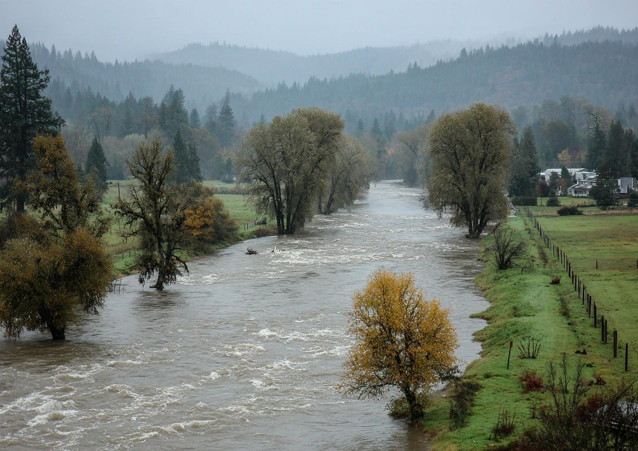
Auburn is a valley-floor city with a river on each side. The Green River runs along the north and west of town. The White River comes in from the southeast and runs through south Auburn toward Pacific and Sumner. Both are controlled by dams upstream, and both still come up into roads and neighborhoods in a heavy winter. This piece covers how that happens, which places sit closest, and what it means for a house.
Before the Dams
The valley floor between Auburn, Algona, Pacific and Sumner flooded regularly for as long as people have farmed it. Settlers fought over where the White River should run. A logjam once sent it into the Stuck River channel and flooded the towns downstream, and a concrete diversion structure followed. Floods kept coming until two federal dams went in: Mud Mountain on the White River and Howard A. Hanson on the Green. Those dams are why Auburn could grow across the valley floor at all.
What the Dams Do Now
The Army Corps of Engineers runs both dams. In a big storm, each one holds water back in its reservoir, then lets it out at a rate the river below can carry. On the Green, the Corps works to keep flow at Auburn under about 9,000 cubic feet per second, the level that triggers a flood warning, and well under about 12,000, the level of concern for the levees downstream. The White has its own limits. Silt washing down from the glacier on Mount Rainier has filled in the riverbed, so the White carries less water than it used to before it spills.
Even with the dams working, a long atmospheric storm means high water for days. Releases keep the river high after the rain stops.
Where the Water Has Reached
| River | What has happened |
|---|---|
| Green | Road closures on Green River Road, D Street NE and South 277th Street; river water seeping into neighborhoods and apartment complexes close to the river |
| White | Temporary barriers set up along the river near A Street in Auburn; a levee failure in Pacific that flooded more than 220 homes in that city alone; past overflows along Pacific City Park |
The pattern is consistent. The closer and lower a house sits to either river, the more likely the water reaches it. Houses up on Lea Hill, West Hill, Lakeland Hills and the plateaus aren't at risk from the rivers themselves. Their water problems are groundwater, rain and plumbing.
How River Water Gets Into a House
- Over the ground: water spreading across streets and yards reaches doors, garage slabs and foundation vents.
- Under the house: on the valley floor, groundwater rises with the river. Crawlspaces fill from below even when the yard looks dry.
- Through drains: high water can back up through low floor drains in some houses.
- Through a breach: a failed levee or an overtopped bank sends water fast, with little warning.
What River Water Does Inside
River water isn't clean. It carries silt, mud and whatever it crossed on the way: fuel, fertilizer, yard debris. Inside a house, that means:
- carpet, pad and anything upholstered it soaked usually goes
- drywall is cut out above the water line
- insulation in walls and under floors comes out
- hard surfaces get cleaned, not just dried
- framing and subfloor are dried with readings before anything goes back
The work after a river comes up is in flood damage cleanup, and the mud stage is covered in after the river drops.
Watching the Rivers
Don't rely on a restoration company for river warnings. Use:
- The City of Auburn for road closures and local alerts; its local hazards page covers river flooding
- King County's flood warning information for the Green River, at the county's Flood Warning System
- Pierce County and the City of Pacific for the White River below Auburn
- The National Weather Service Seattle office for flood watches and warnings
- Emergency alerts sent to your phone
Don't drive or wade into water covering a road. Moving water deep enough to cover the pavement can move a car.
Before the Rainy Season
- find out whether your address is in a mapped flood hazard area, using FEMA's Flood Map Service Center
- check whether your policy covers flood, and how long new flood coverage takes to start
- photograph your home and belongings and store the photos off-site
- know which way you'd leave if your street closed
- clear the drains and window wells nearest the house
Questions
Is my Auburn house at risk if it's not next to the river?
On the valley floor, possibly. Groundwater rises with the rivers and fills crawlspaces some distance away. On the hills, the rivers aren't the risk; groundwater and rain are.
Does homeowners insurance cover river flooding?
Generally not. Flood is a separate policy. See flood insurance near Auburn's levees.
Why does the river stay high after the rain stops?
Dam releases. The reservoir that held the storm back is let out over days, at a rate the river below can carry.
Around the Rivers
River history matters most in North Auburn, Pacific and Algona, and on low ground anywhere near either river.
Dam Releases and River Levels: What They Mean for Your House
What the flow numbers mean, and where to watch them.
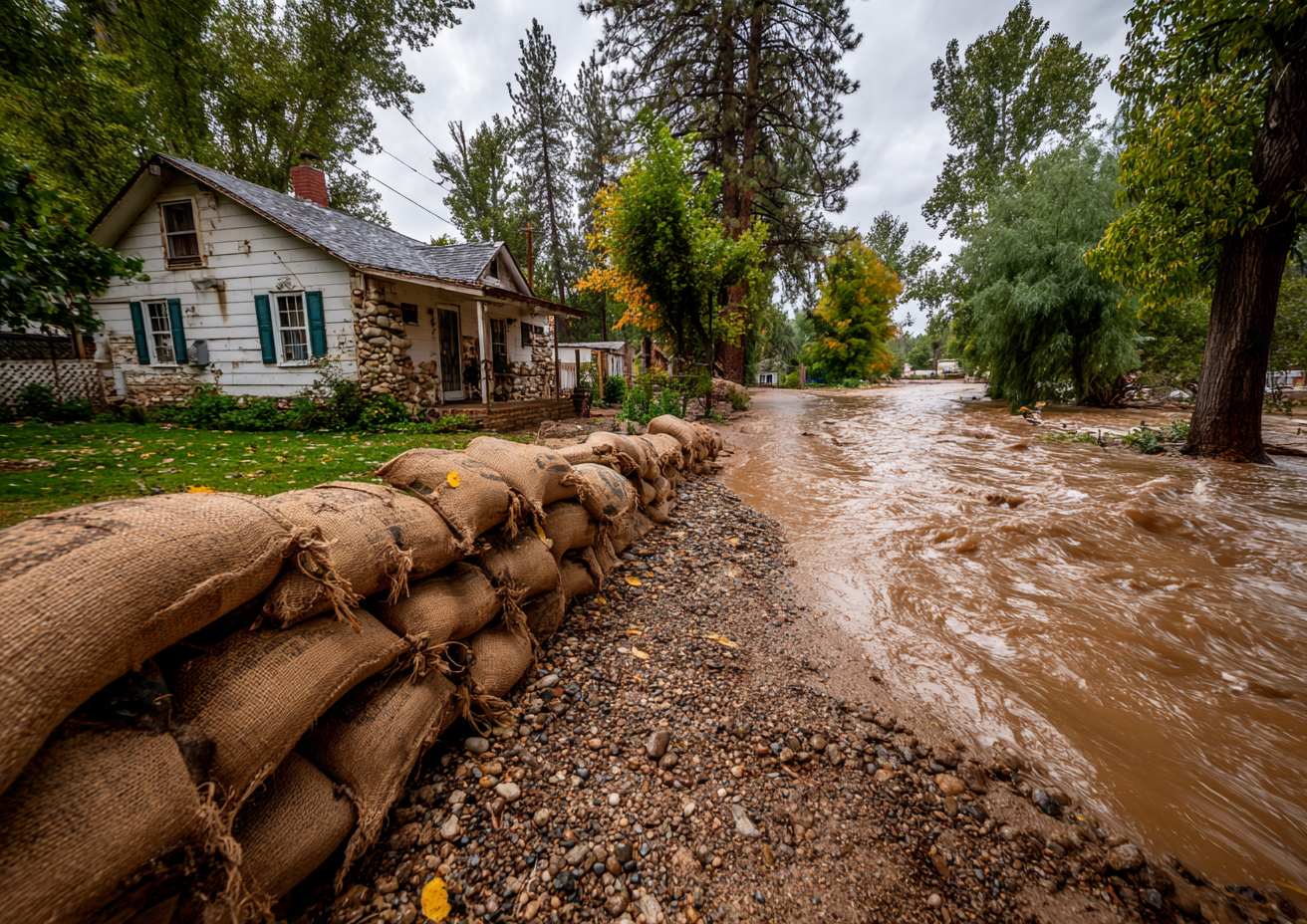
Sandbags, Levees and Barriers: What They Protect and What Still Gets Wet
What each kind of protection stops, and what gets past it.