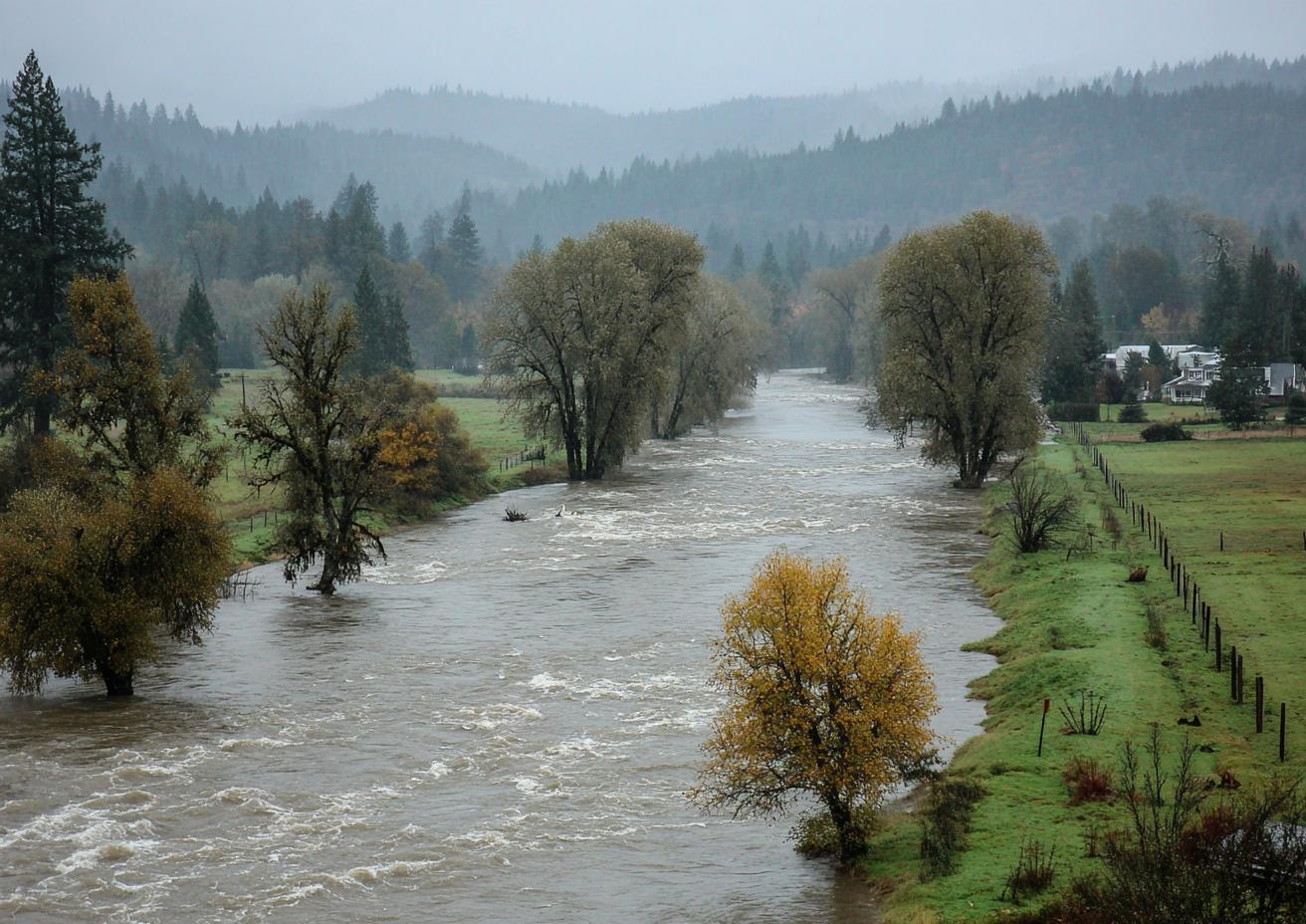
When a big storm hits the Cascades, two dams upstream of Auburn start holding water back: Howard A. Hanson on the Green River and Mud Mountain on the White. What they release over the following days decides how high the rivers run past Auburn. You don't control any of it. But knowing how to read it tells you when to move things off a basement floor, when to check a crawlspace, and when to leave.
Two Dams, Two Jobs
| Howard A. Hanson Dam | Mud Mountain Dam | |
|---|---|---|
| River | Green | White |
| Where | Upstream in the Cascades, east of Black Diamond | Near Enumclaw |
| Main job | Flood control, plus water supply and fish flows | Flood control |
| Who runs it | U.S. Army Corps of Engineers | U.S. Army Corps of Engineers |
In a storm, each dam stores runoff in its reservoir instead of passing it straight down. Afterward, the Corps lets it out at a rate the river below can handle. That's why a river can stay high, or even rise, a day or two after the rain eases.
The Numbers That Matter on the Green
River flow is measured in cubic feet per second (cfs). For the Green River at Auburn, two numbers come up in the city's own updates:
- About 9,000 cfs: the flow that triggers a flood warning for the Green at Auburn.
- About 12,000 cfs: the level of concern for the levees from Auburn downstream.
In a major storm, the Corps holds water back to keep the Green at or under the lower figure where it can. When reservoirs fill and releases go up, the flow climbs toward the higher one, and low roads close.
The White River Is Different
The White carries glacial silt off Mount Rainier, and that silt has filled in the riverbed over the years. City officials have warned that the White now spills at lower flows than it once did, and that even moderate releases can put water onto the valley floor in Pacific and Sumner. Levees along the White protect neighborhoods, but a failure, like the one that flooded more than 220 homes in Pacific, sends water fast.
Reading a River Gauge
River gauges are posted online by the U.S. Geological Survey, including the Green River near Auburn gauge, and summarized by county flood warning pages. On a gauge page:
- Find the right gauge. "Green River near Auburn" and the White River gauges below Mud Mountain are the ones that matter here.
- Read the flow or the stage. Flow is cfs; stage is the height of the water in feet.
- Check the trend. A line still rising after the rain stops usually means releases upstream.
- Compare with the warning levels. County pages translate the numbers into phases, from minor to severe.
The gauge tells you where the river is, not where your house is. A house on a low lot near the levee is affected sooner than one a few streets away on higher ground.
What Rising Rivers Mean for a House
| River condition | What to do at home |
|---|---|
| Rising, below warning levels | Clear drains and window wells; move valuables off basement and garage floors |
| Flood warning issued | Follow the city and county; check the crawlspace from the hatch; charge phones |
| Roads closing near you | Be ready to leave; turn off power to low areas only if it's safe to reach the panel dry |
| Water at the door or under the house | Leave if told to; after the all-clear, photograph everything and call for cleanup |
Groundwater Rises Too
On the valley floor, the water table rises with the rivers. A crawlspace can take on water in a house that never sees river water at the door. If your home is in Downtown Auburn, North Auburn, Algona or Pacific, a long period of high river flow is a reason to look under the house. See crawlspace water on the valley floor.
Where to Get Warnings
- City of Auburn: road closures and local notices
- King County: flood warning phases for the Green River
- Pierce County and the City of Pacific: the White River below Auburn
- National Weather Service, Seattle: flood watches and warnings at weather.gov/sew
- Emergency alerts sent to your phone
None of these come from restoration companies, and none should. The companies on this line don't predict river levels.
Questions
Can a dam release flood my house with no rain?
Releases follow storms, so there's always been rain somewhere upstream. But the river can rise after your own street has dried out.
Is my house safe if it's behind a levee?
Safer, not safe. Levees reduce risk; they can still be overtopped or fail, and groundwater can rise behind them.
Who decides how much water is released?
The U.S. Army Corps of Engineers, based on reservoir levels, forecasts and flows downstream.
Does new flood insurance start immediately?
New National Flood Insurance Program policies usually have a waiting period before they take effect. See flood insurance near Auburn's levees.
Along Both Rivers
Dam releases matter most in North Auburn, Sumner and Enumclaw, closest to the White River's dam.
How the Green and White Rivers Reach Auburn Homes
Two dammed rivers, one valley floor, and the places that have taken water.
Flood Insurance Near Auburn's Levees
NFIP, levee areas and what a homeowners policy leaves out.